Interactive Maps

Our new portal capitalizes on new JavaScript which allow us to streamline the workflow for adding an application to the portal. Give it a try!
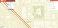
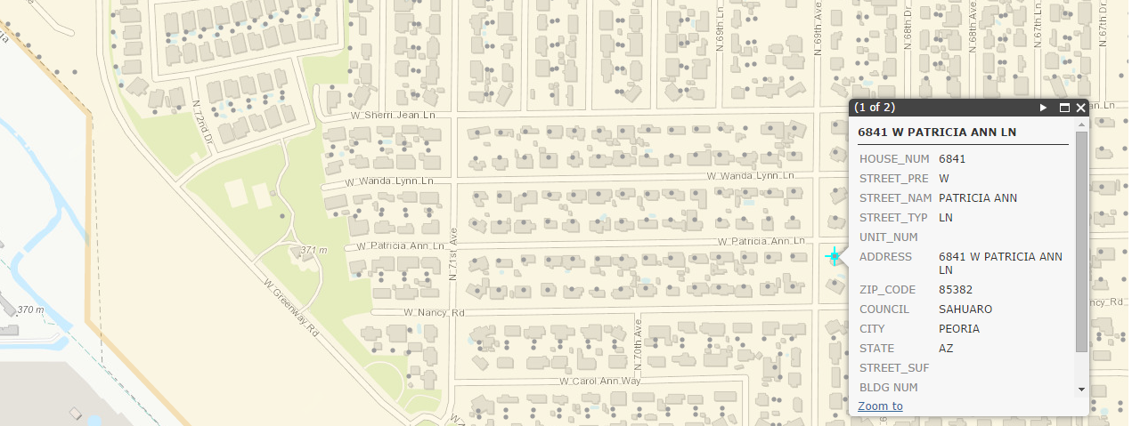
Locate addresses within the City of Glendale using an interactive search.
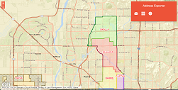
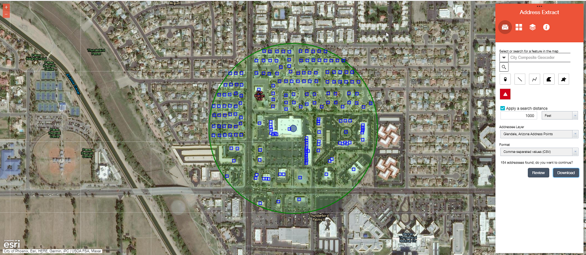
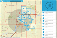
Retrieve address information within a user defined area - with the ability to export addresses to an Excel table or PDF Mailer.
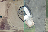
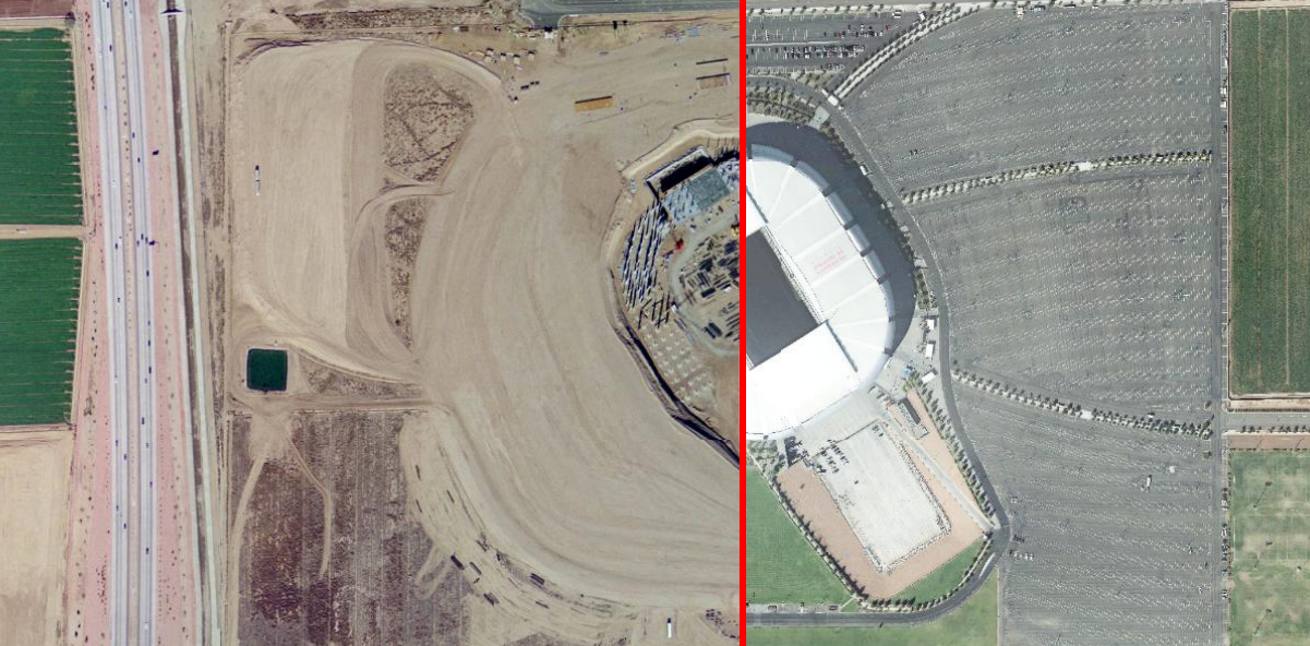
Compare imagery over time from 1999-2020. Also included are various City boundaries.
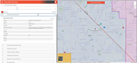
Displays varous boundaries within the City including city limits, City Council districts, and Census areas.
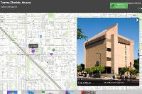
View local destinations through a guided photo map tour.

Identify city services in your area including trash/recycling pickup, library locations, public safety locations and more.
Access to City of Glendale Neighborhood Information and Local Perspective.
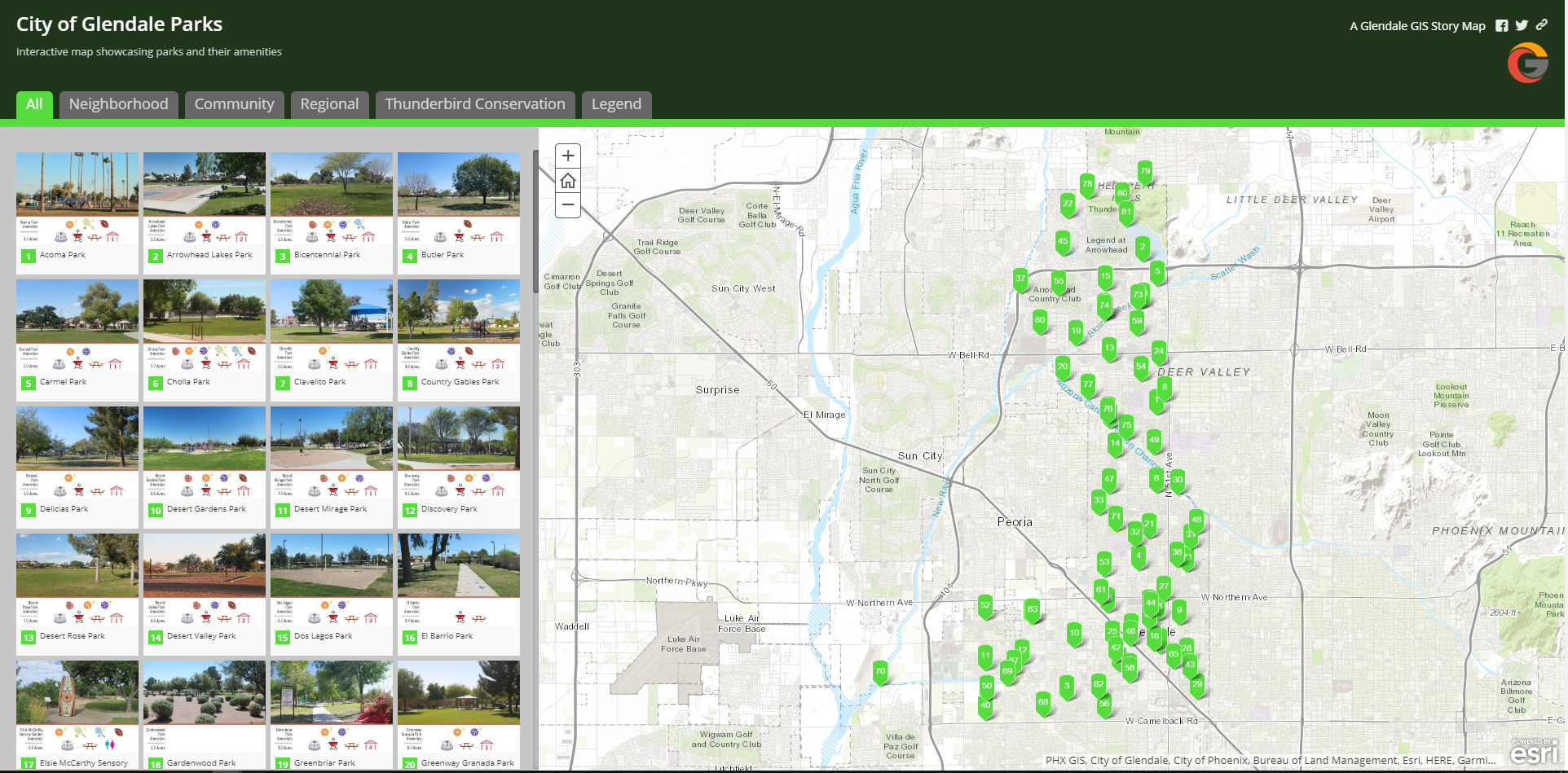
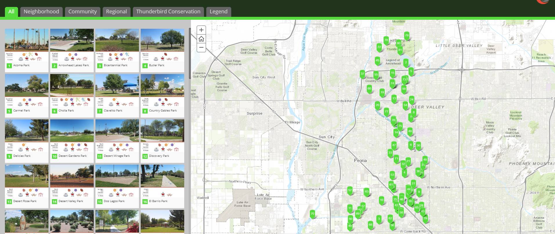
View park locations across Glendale including hours of operation and amenities.
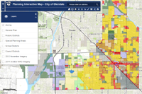
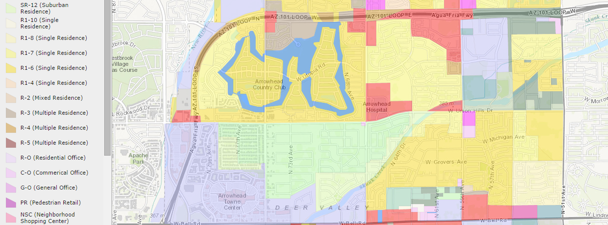
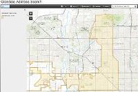
Planing Interactive Map for the City of Glendale, Arizona.
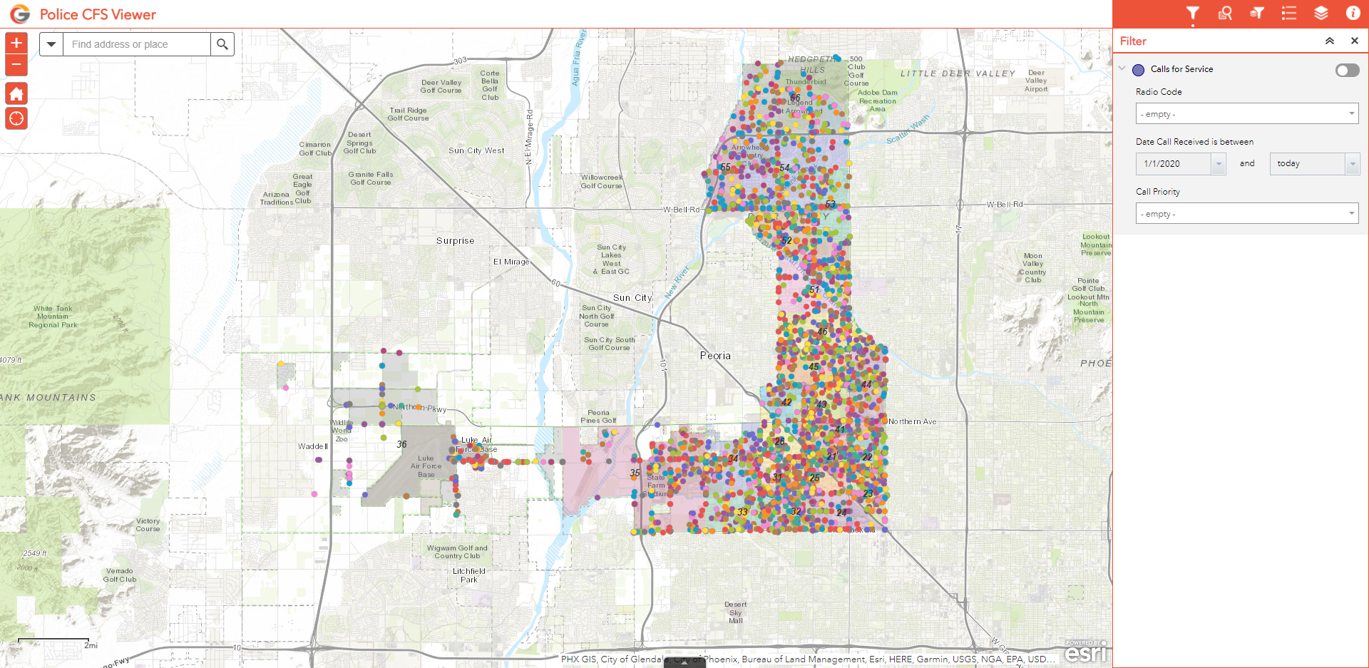
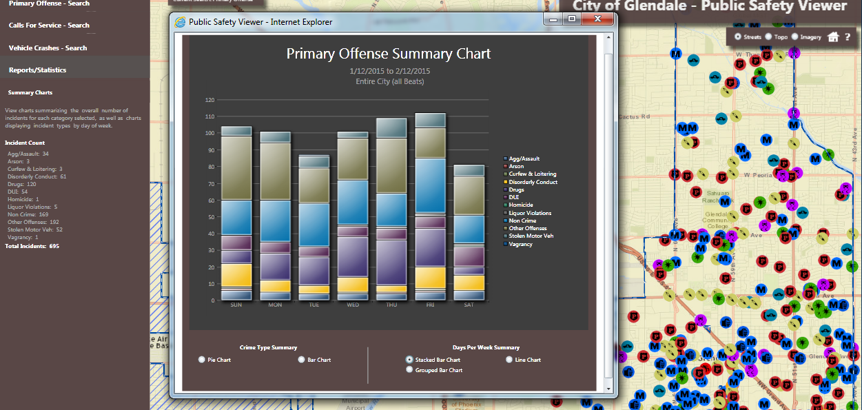
View and interact with Police Calls for Service data within the City of Glendale
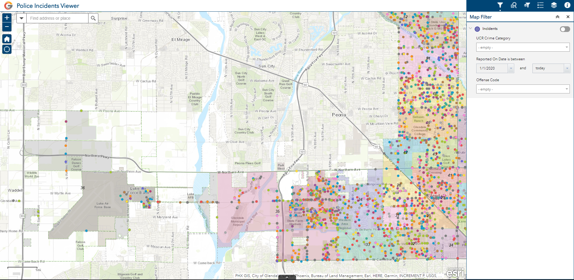
View and interact with police incidents data within the City of Glendale
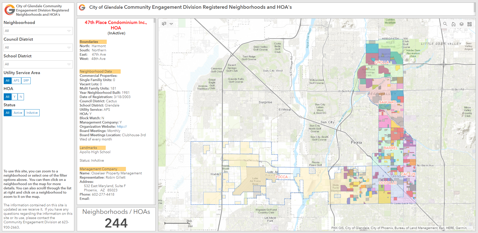
Search and view Neighborhoods and HOA's